
Calibrate your map display by first making sure your device has a clear view of the sky, then run a manual calibration routine in your device’s settings, and finally check against known landmarks. Dual-constellation gps/beidou positioning boosts accuracy, yet you must understand their differences. BeiDou’s RDSS depends on ground stations for calculation, while GPS computes directly on the satellite. BeiDou’s GEO satellites improve coverage across Asia-Pacific, but they may need separate calibration steps. You should treat each system’s signal characteristics carefully. This gnss navigation service improves mapping results when you calibrate both constellations properly. Remember that atmospheric delays and sensor drift still affect positioning, so regular calibration remains essential.
Key Takeaways
Calibrate your device once a month to keep it accurate.
Update the device’s software before you calibrate, so any bugs are fixed first.
Use both GPS and BeiDou to get better coverage.
Check your location with known landmarks.
Switch between GPS and BeiDou to find where the offset comes from.
Why GPS/BeiDou Positioning Calibration Matters
You might think that using both the global positioning system and the BeiDou navigation satellite system guarantees perfect accuracy. This is not true. You still need to calibrate your device. The different calculation methods create unique offset patterns. GPS uses direct satellite calculation. BeiDou uses RDSS with ground stations. This multi-gnss receiver requires careful setup. A simple calibration routine ensures these satellite navigation systems work together correctly.
Benefits of Dual-Constellation Accuracy
Using both systems significantly improves your navigation service. The evidence shows that BeiDou’s GEO and IGSO satellites provide enhanced signal strength in the Asia-Pacific region. This is a major advantage over a single system. Users in South and Southeast Asia, especially in agriculture and logistics, experience the largest direct benefit. You get reliable positioning services in these areas. The precision of these satellite types is also excellent. A study measured the average clock offset for different satellite types within the Asia-Pacific region. The table below shows the results.
Satellite Type | Average Clock Offset STD (ns) | Region of Measurement |
|---|---|---|
MEO | Asia-Pacific only | |
IGSO | 0.17 | Asia-Pacific |
GEO | 0.22 | Asia-Pacific |
This data shows that all three types have very stable clocks. This stability directly contributes to your location accuracy.
Common Calibration Pitfalls in 2026
Even with excellent accuracy, you face common pitfalls. Sensor drift in your device is a frequent problem. The gyroscope and accelerometer slowly lose alignment. This causes your map position to wander. Atmospheric delays also affect the gnss signal. You cannot fix these issues by simply restarting the device. You must run a manual calibration. Another major pitfall is neglecting device-specific firmware. Your receiver might have a bug that causes a constant offset. You can assume a single calibration solves all problems. The satellite navigation system’s configuration changes. You must recalibrate regularly. Ignoring the differences between the calculation methods leads to confusion. You might see an offset and not know which system causes it. The RDSS ground station calculation for BeiDou can introduce a different error pattern. Understanding this helps you troubleshoot the problem later.
Calibration Process for GPS and BeiDou

Calibrating gps/beiDou positioning takes care with both systems. You must follow each step exactly to get the best results. Using two constellations gives better accuracy than one alone. Proper calibration lets your device use the full power of both GPS and BeiDou.
Pre-Calibration Setup
Before you calibrate, you need to set things up right. First, update your device firmware. The maker sends updates that fix bugs and improve how the device works with the navigation system. This matters most for multi-gnss devices that use both GPS and BeiDou. Some devices come set to use only GPS. You must change this to turn on BeiDou. Second, turn on both constellations in your receiver settings. You need to reach the GPS and BeiDou satellites. This way you get the benefit of dual-constellation accuracy. Using both systems improves coverage and cuts down on signal loss. Third, pick a spot with a clear view of the sky. Stay away from tall buildings, thick trees, and underground places. A clear sky cuts down on blockage and multipath errors. This setup gives you the best base for accurate real-time positioning. You should also make sure your device has a full battery. A low battery can hurt sensor performance. The GNSS service works best when the device has enough power. Check the status screen to see how many GPS and BeiDou satellites are visible. A good number of visible satellites improves your accuracy. Aim for at least ten visible satellites for the best results.
GPS Calibration Steps
After the setup, you can start the calibration steps. These steps line up your device sensors with the signals from the satellites. The GNSS receiver needs this alignment to figure out your position correctly. The GPS and BeiDou systems work together to give you a stronger connection. Your multi-gnss receiver will gain from calibration. Follow them in order.
Do a manual compass calibration. Rotate your device in a figure-eight pattern. The device uses the magnetometer to find the heading. This step fixes magnetic interference from nearby objects. A correct compass improves map orientation. The compass calibration makes sure the map faces the right way. You should rotate the device in three dimensions for the best results. Move the device slowly and steadily. The calibration takes about 30 seconds. The device will tell you when the compass is ready. Do not do this step near metal objects. They can mess with the magnetic field. Do this step in a clean area with no magnetic interference.
Do a tilt calibration. Put your device on a level surface and follow the on-screen prompts. The accelerometer and gyroscope learn their position. This stops map drift when you move the device. You must do this step on a stable surface. A tilted surface can cause wrong calibration. Use a spirit level if you have one. The device will show a calibration screen. Wait for the confirmation message. This step is key for accurate navigation. Put the device on a table or other flat surface.
Check that your AGPS or EPO data is fresh. These files hold orbit predictions. The GNSS receiver uses them to lock onto satellites fast. If the data is older than a few days, download new files from the provider. Fresh data means quick satellite acquisition. You can usually download this data through the device settings. The data file is small. A quick internet connection is enough to get it. The provider updates the data often. This step improves your location accuracy. The data usually works for one week. Check the data age in the settings menu.
Check your position against known coordinates. Use a physical map, a survey marker, or a clear landmark. Make sure your map display shows the right location. This step checks the whole calibration process. If your position is off by more than a few meters, repeat the steps. A location accuracy of a few meters is normal for these systems. Walk to the landmark and check the indicator. The display should show your exact position. The signal from both constellations should give you a steady result. Use a known coordinate from a survey if you can.
After these steps, your device should give accurate navigation. The dual-constellation system works together for the best performance. You should repeat this calibration monthly or after firmware updates. The mix of GPS and BeiDou gives you reliable positioning in most places. This ensures steady service in different environments. The navigation system keeps changing, so regular calibration is a must. With calibration, your accuracy can improve by several meters.
Troubleshooting GPS/BeiDou Calibration
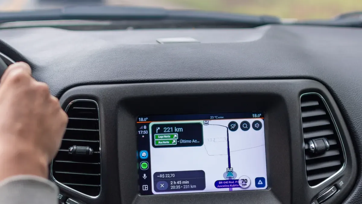
When your map drifts or shows a wrong position, you need a clear plan. The issue could come from either system. You cannot guess which one is causing the problem. You must check each one on its own.
Fixing Map Offset and Drift
Map offset and drift come from a few known problems. These include orbit errors, ionospheric delay, tropospheric delay, phase center offset, and multipath error. Each one changes your position in a different way. You need to find out which one is causing your issue.
Start by looking at your NMEA logs. These logs show diagnostic data about your receiver’s performance. The GGA sentence shows your RTK status in Field 6. A value of 4 means RTK fixed. A drop to 5 or 6 means float or dead reckoning mode. This drop clearly shows a loss of precision. The RMC sentence in Field 12 checks this state again. If the mode indicator shows ‘R’ for fixed but your GGA shows float, you have a parsing issue. The GSA sentence gives Dilution of Precision values. High PDOP or HDOP values confirm poor satellite geometry. The GSV sentence shows signal-to-noise ratios per satellite. Low SNR values below 30 dBHz identify weak signals or multipath interference. The GST sentence gives pseudorange error statistics. High RMS values indicate more measurement noise.
Once you find the error source, you can use the right fix. Several correction services handle specific problems. The table below shows your options.
Correction Service | How It Fixes Offset & Drift |
|---|---|
Single Base Line (RTK) | Uses one RTK base station to send differential corrections, removing common errors like satellite clock and orbit errors |
Network (e.g., Trimble VRS) | Uses many base stations to model distance-based errors like ionosphere and troposphere more accurately |
Global (Trimble RTX) | Sends precise corrections via satellite without a local base, reducing offset in remote areas |
xFill | Fills gaps when RTK signal drops, using RTX corrections to keep accuracy during outages |
IonoGuard | Fixes high solar activity, reducing ionospheric-induced drift |
Kalman Filter | Uses position and speed history to smooth results, reducing random drift during signal dropouts |
You can also use Precise Point Positioning (PPP) for centimeter-level accuracy. This method needs 20 minutes to 1 hour to start up. Satellite-Based Augmentation Systems (SBAS) like WAAS or EGNOS give sub-meter accuracy without RTK. Multi-frequency receivers help fix ionospheric distortion directly. Adding an Inertial Navigation System (INS) keeps positioning when gnss signals drop in tunnels or city canyons.
BeiDou and GPS Priority Settings
Sometimes you need to switch between GPS-only and BeiDou-only modes. This step helps you find which system causes the offset. Change the setting in your device menu. Test each mode separately. Walk the same route in both modes. Compare the results. The system with the bigger error needs attention.
Your device likely has a priority setting. You can prefer GPS over BeiDou or the other way. Choose GPS priority when you travel outside the Asia-Pacific region. GPS gives better global coverage. Choose BeiDou priority when you work in Asia-Pacific. BeiDou’s GEO and IGSO satellites give stronger coverage there. The RDSS ground station calculation may create different offset patterns. Knowing this helps you decide which system to trust.
A multi-gnss receiver lets you change these settings easily. You should check your priority settings after firmware updates. The update might reset your choices. Regular checks keep your navigation service reliable. The right priority setting improves your location accuracy. You get better positioning when you match the system to your area. This simple change often fixes ongoing drift problems. Your gnss receiver works best when you set it up for your specific region and use case.
Future-Proofing GPS/BeiDou Calibration
Your dual-constellation setup works well today. You must think about tomorrow. The global navigation satellite systems landscape keeps evolving. You can prepare your device for future changes. This preparation keeps your positioning reliable for years.
Multi-Constellation and SBAS Integration
You can add Galileo and GLONASS to your receiver. These systems expand your satellite coverage. More satellites mean better geometry. Better geometry improves your accuracy. Your multi-gnss receiver can track all these systems at once. This approach reduces dead zones in urban areas. You get a stronger signal in challenging environments.
Satellite-Based Augmentation Systems (SBAS) offer another layer. WAAS serves North America. EGNOS covers Europe. BDSBAS supports the beidou navigation satellite system in Asia. These systems broadcast correction data. Your receiver uses this data to fix errors. You achieve sub-meter accuracy without extra hardware. This improvement matters for precise tasks. You can check your device settings for SBAS support. Many modern receivers enable this feature by default.
The global positioning system and beidou navigation satellite system work well together. Adding more constellations creates redundancy. You lose one satellite. Others fill the gap. This resilience keeps your navigation service stable. You should enable all available constellations in your settings. The gnss receiver handles the data processing automatically. You simply benefit from the improved performance.
Software Updates and Calibration Tools
Your satellite navigation system needs regular updates. Constellation ephemeris data changes constantly. Satellite orbits shift over time. Ground stations update their predictions. Your device firmware must track these changes. Manufacturers release updates to address new satellite configurations. You should check for firmware updates monthly. Install them promptly to maintain accuracy.
Third-party calibration apps provide additional value. These tools analyze your receiver performance. They show detailed diagnostic information. You can see signal strength per satellite. You can monitor dilution of precision values. Some apps offer guided calibration routines. These routines walk you through each step. You get visual feedback during the process. This guidance helps you calibrate correctly.
Your satellite navigation systems require ongoing attention. A single calibration does not last forever. Sensor drift continues after each calibration. Firmware updates may change sensor behavior. You must recalibrate after significant updates. You should also recalibrate monthly as a routine. This habit keeps your device accurate. Your multi-gnss receiver performs best with regular maintenance. You invest a few minutes each month. You gain reliable positioning every day.
You now have the complete calibration workflow. Start with a clear sky view. Run the manual calibration routine. Verify your position against known landmarks. These three steps form your foundation for reliable gps/beidou positioning.
Recalibration matters more than you might think. GPS and BeiDou satellite configurations evolve constantly. Firmware updates alter sensor behavior. Your multi-gnss receiver needs monthly attention. A well-calibrated device leverages both systems for optimal accuracy. You get better signal reception and improved navigation service.
Perform your calibration now. Repeat it monthly or after significant firmware changes. Your gnss receiver will reward you with dependable positioning and consistent accuracy. Take action today.
FAQ
How often should I recalibrate my device?
You should recalibrate once a month. Firmware updates also need a fresh calibration. Satellite setups change over time. Sensor drift builds up every day. A monthly routine keeps your positioning reliable. Put it on your calendar. Being consistent matters more than being perfect.
What accuracy can I expect after calibration?
You can expect accuracy within a few meters. Dual-constellation gnss receivers get this with clear sky views. Urban areas lower accuracy. Buildings block signals and cause multipath errors. Open spaces give you the best results. Your multi-gnss device works best under open skies.
Why does my map still show an offset?
An offset usually comes from one system. Switch to GPS-only mode. Test your position. Then switch to BeiDou-only mode. Compare the results. The system with the bigger error needs attention. Check your priority settings after that. This simple test finds the source quickly.
Do I need to update firmware before calibrating?
Yes. Firmware updates fix bugs that affect sensor behavior. Manufacturers release updates when satellite systems change. Install the latest version first. Then run your calibration routine. This order makes sure your device uses current algorithms. Your navigation service improves with each update.
Can I calibrate indoors or near windows?
No. You need a clear view of the sky. Walls and glass weaken satellite signals. They also cause multipath errors. Step outside to an open area. Wait for your device to lock onto enough satellites. A strong signal gives you accurate positioning. Patience pays off here.